Biological oxygen demand (BOD) is a key indicator of ecosystem health. Nearly all aquatic organisms need oxygen to break down organic material in the water. Organic compounds are naturally found in water, but too many organic compounds indicate polluted water. Organic compounds come from biodegradable organic material such as industrial wastes, agricultural wastes, and human wastes. BOD can be used to determine the effectiveness of sewage treatment systems. Healthy waters will have low BOD levels while polluted waters will have high levels.
How is it measured?
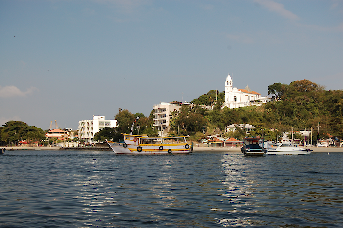
Guanabara Bay
Biological oxygen demand was measured at approximately 20 stations between 2013-2015. The proportion of time that biological oxygen demand was below the threshold at each station was calculated and then spatially averaged into reporting regions.
Guanabara Basin
Biological oxygen demand was measured at approximately 55 stations between 2013-2015. The proportion of time that biological oxygen demand was below the threshold at each station was calculated and then spatially averaged into reporting regions.
Data is provided by INEA.
Each sample is compared to a threshold to calculate a score from 0 to 100. All sample scores are averaged for each sampling location to reach a station score. All stations in each region are averaged to a region score. All regions are averaged to the overall indicator score.
Threshold levels
The biological oxygen demand threshold for the Bay is 5 mg/l which was determined using the Class 2 Freshwater value from the National Council of the Environment (CONAMA). The value for freshwater was used because in the Brazilian resolution there is no standard for BOD in saline waters.
The biological oxygen demand threshold for the Basin is 5 mg/l which was determined using the Class 2 Freshwater value from the National Council of the Environment (CONAMA).