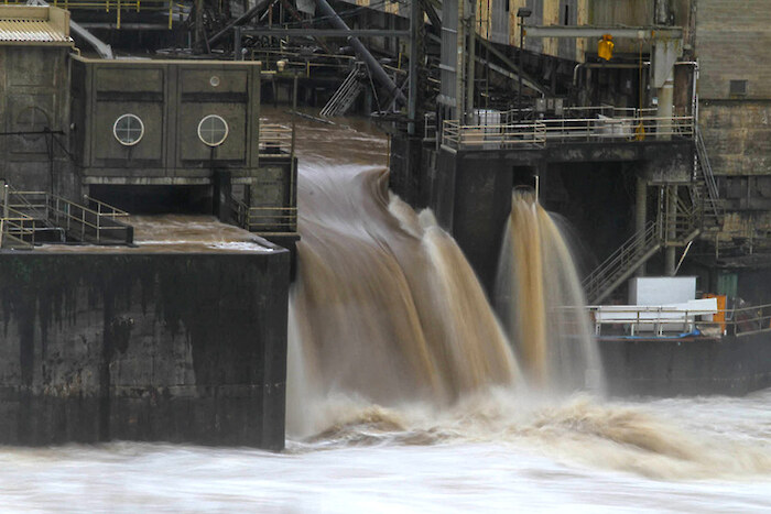
The flow regime throughout the Willamette River system is disrupted by 13 dams built to mitigate and control downstream flooding by reducing the magnitude of peak flood flows. Reduction in the magnitude and frequency of peak flows has altered ecological communities and lead to a variety of negative geomorphological consequences in the Willamette River.
This indicator measures the difference between current and historic peak flows.