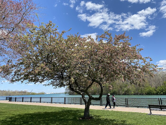
Walkability to an urban park is an important measure of a community’s access to green spaces and the benefits they provide. This indicator considers the ability of a person to have a 10-minute walk to the nearest public park. The travel time is calculated using the shortest walking route without a barrier (e.g., highway, train track, etc.).
How is it scored?
We used the overall percentage of the population that can walk to a park in 10 minutes from the Access metric of the Trust for Public Land’s ParkScore methodology to score this indicator. This data is available at the level of the US census bureau’s urban area designation. The proportion of an urban area within a watershed was multiplied by its population size to calculate a population weight. An urban area’s walkability score was multiplied by its population weight and summed to calculate a watershed score. Watershed scores were population-weighted to calculate the overall region score. This population weight only includes urban area populations.
Data source: Trust for Public Land for ParkScore and U.S. Census Bureau for Urban Areas shapefile.
