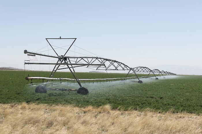
The groundwater indicator is determined as the change in water level for the aquifers in the basin.
How is it scored?
Thirteen aquifers in the region were examined. The data is from 1980-2015, and data from 2010-2015 is used for the scoring of the indicator. The thresholds came from USGS. If groundwater level change is >0.1 feet, it’s considered a rise; if it’s from 0.1 to -0.1 feet it’s stable, and if it is <-0.1 feet it’s a decline. 0.1ft was set at the 79% score (a high B), and -0.1ft was set at the 60% score (a low B). The scores were scaled evenly between these two points using the equation below.
Score=(95 x groundwater change)+69.5
