Characteristics of the Tuparro River Basin
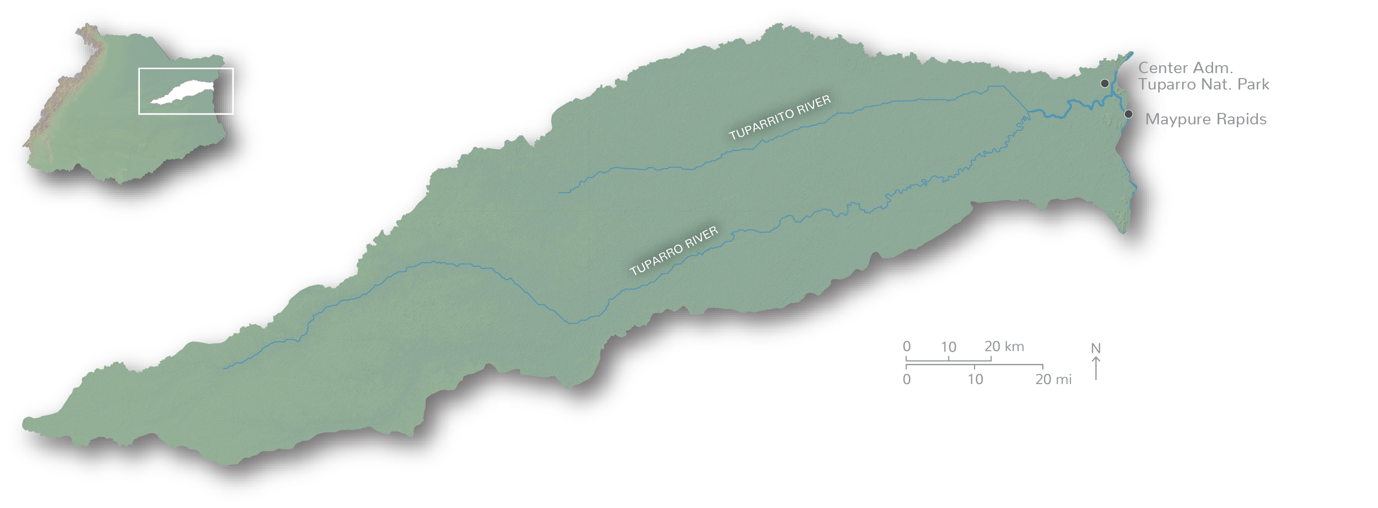
The Tuparro River originates in the Altillanura and stretches 693 km before flowing into the Orinoco River, near the Tomo River. The basin is dominated by seasonal savannas, but also displays a variety of other ecosystems such as flooded gallery forests and flooded savannas. Much of the Tuparro basin is protected within Tuparro National Park, but threats from natural resource exploitation are growing.
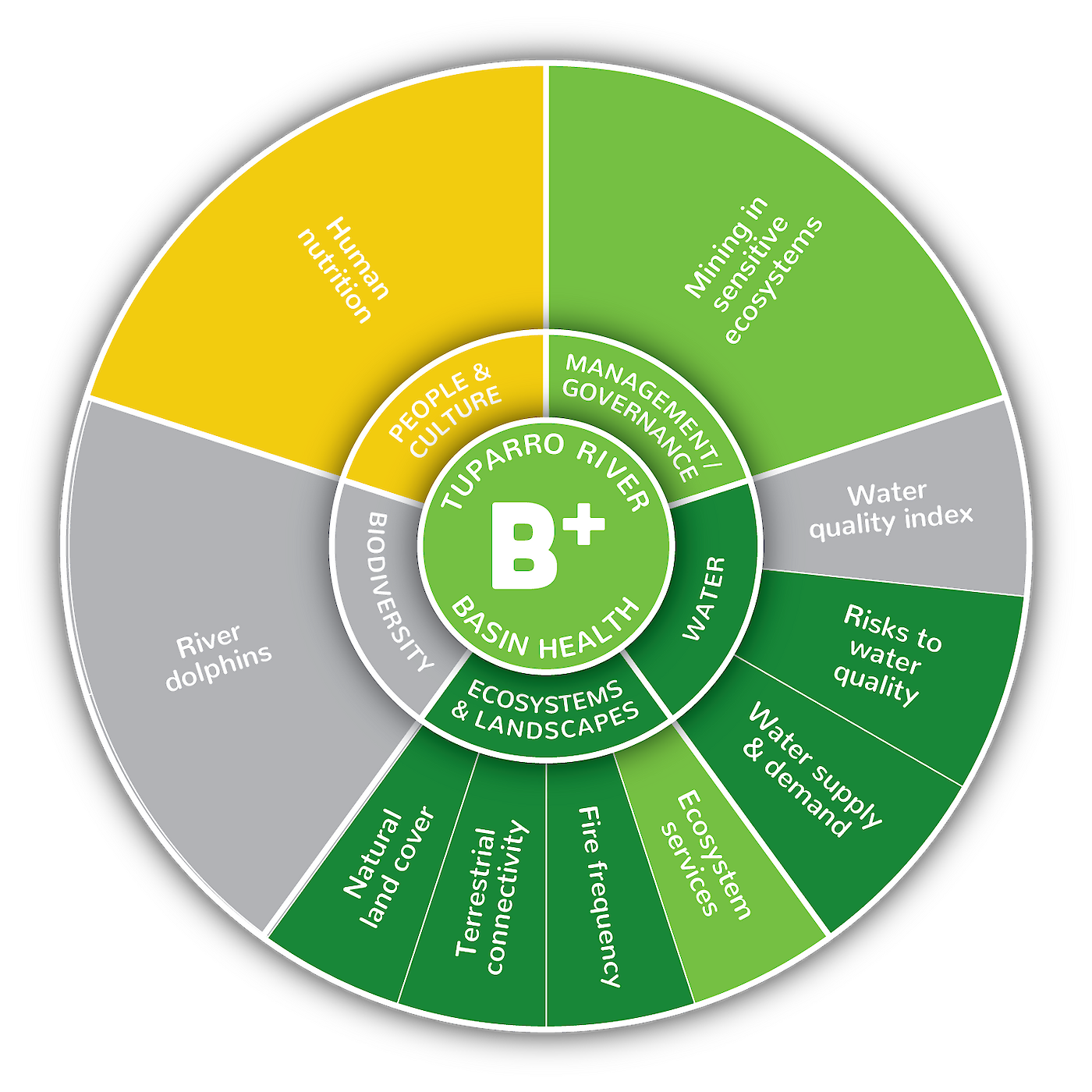
Tuparro River has good health but more information is needed

The Tuparro River Basin received the third highest score of all the sub-basins within the Colombian portion of Orinoco River Basin, with an overall B+ grade (77%). Of the eight indicators assessed, all were excellent (>80%) or good (60-80%) except for human nutrition (53%) which despite its moderate score was the best score for human nutrition within the Orinoco River Basin. A score of 100% was achieved for natural land cover. No IDEAM National Network Monitoring Program water quality sites are currently within the Tuparro River, so water quality information was not available for this sub-basin. No river dolphin data was available for this version of the report card, but new information on river dolphin abundance will become available for future report cards.

