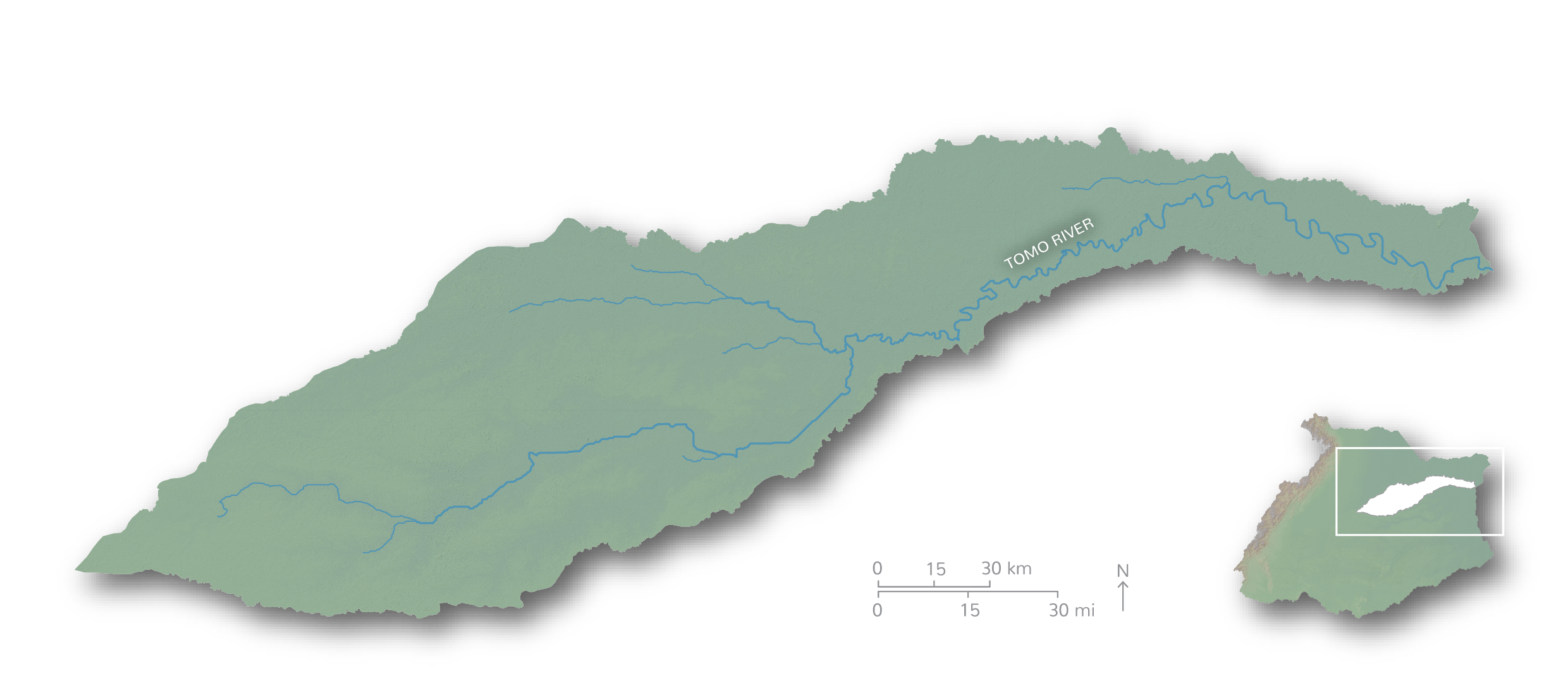
Characteristics of the Tomo River Basin
The Tomo River originates in the Altillanura and stretches 902 km in length before flowing into the Orinoco near the Tuparro River. The basin includes several ecosystems dominated by seasonal savannas, but showcases distinctive flooded gallery forests and flooded savannas. Much of the Tomo River Basin is protected within Tuparro National Park, but increasingly threats from exploitation of natural resources and land ownership conflicts are becoming more apparent.
Tomo River has the second highest score in the Orinoco River Basin

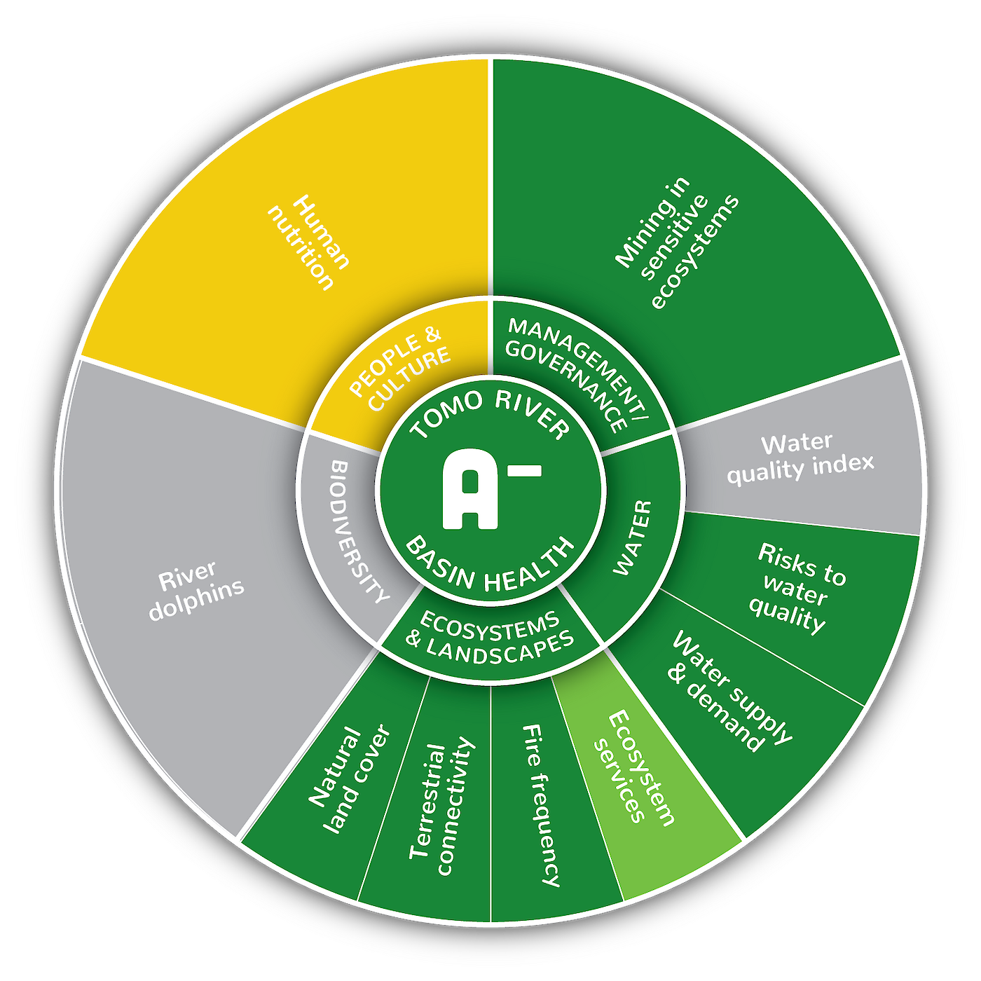
The Tomo River Basin received an overall A- grade (84%), the second highest of all the sub-basins within the Colombian portion of Orinoco River Basin. Of the eight indicators assessed, all were excellent (>80%) with the exception of ecosystem services (63%) and the human nutrition (53%). These lower scores are likely due to very poor soil fertility and changes in indigenous nomadic traditions. A noteworthy score of 100% was achieved for risk to water quality, and mining in sensitive ecosystems which is a positive indication that this basin is experiencing low pressures. There is, however, a need to know more. There are currently no IDEAM National Network Monitoring water quality sites making the water quality index unavailable for this sub-basin. Additionally, no river dolphin data was available for this version of the report card, but it is anticipated that new information on river dolphin abundance will become available for future report cards.

