Characteristics of the Atabapo River Basin
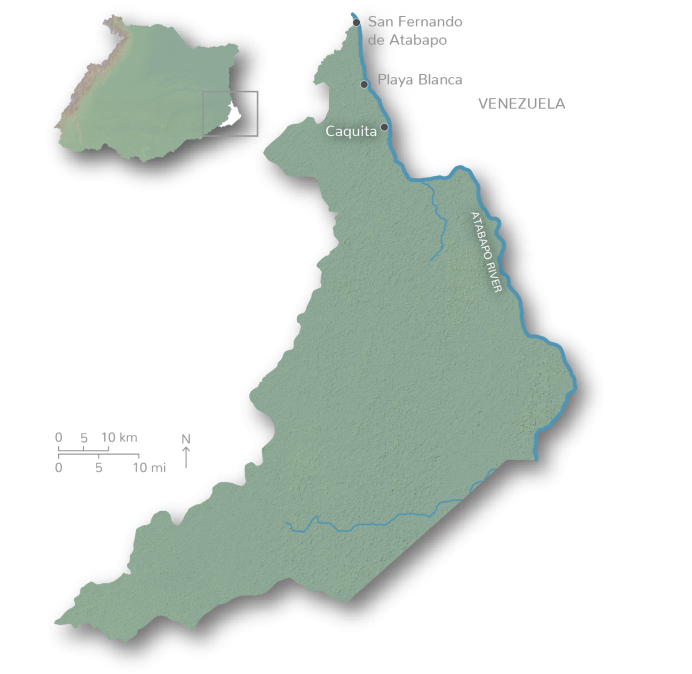
The Atabapo River, is one of the smallest tributaries of the Orinoco River in Colombia, and forms part of the border between Colombia and Venezuela. The river originates in the low plain forests of the transitional Amazon biome and stretches 185 km in length. The basin includes a variety of ecosystems, such as seasonal savannas, basal rainforests, and basal gallery forests. Main threats within the basin are exploitation of natural resources and gold mining.
The Arauca’s health is good but its population faces challenges

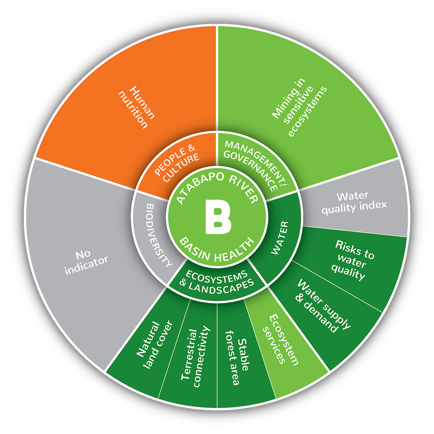
The Atabapo River Basin received an overall B grade (72%). Of the eight indicators assessed, most scored in the good-excellent range, except for the human nutrition indicator which had the second-lowest score in all of the Orinoco River Basin. Overall basin scores ranged from as low as 38% for human nutrition, to as high as 100% for both water supply and demand, and natural land cover. The condition of stable forest area, terrestrial connectivity, and risks to water quality were also excellent in the Atabapo River Basin. Unfortunately, none of IDEAM’s National Network Monitoring Program water quality sites are currently within the Atabapo River, so the water quality index was not available for this sub-basin. There is currently no biodiversity indicator. The main biodiversity indicator in the other sub-basins was river dolphins, but due to the type of water, length/depth of the river, and fish abundance, river dolphins are not naturally present in this river.

