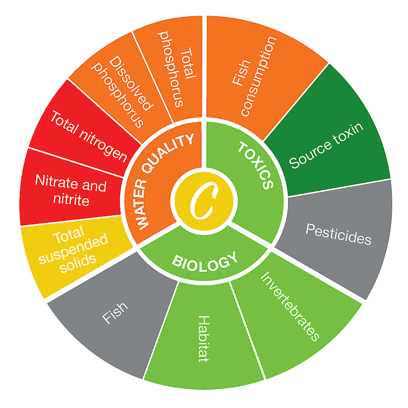
The Tiffin River is one of four major rivers draining into the Maumee River system, covering 778 mi2/2,015 km2 of northwestern Ohio and southeastern Michigan, including the counties of Defiance, Fulton, Henry, Williams in Ohio. The Tiffin River watershed supports a population of over 62,000 people. Most of the land in the watershed—over 80%—is used for agriculture, although the poorly-drained soils of this region necessitate extensive drainage networks and stream channelization. Runoff pollution from agricultural lands and stream channelization account for most of the nonpoint source pollution originating in the Tiffin River watershed.*
The Tiffin River region score was based on nine indicators with adequate data. The highest-scoring indicator was source water toxin, while the lowest-scoring indicator was total nitrogen. Read more about the individual indicator scores here.
*Infromation from the Ohio EPA Biological and Water Quality Study of the Tiffin River.

