The St. Marys River is one of four major rivers draining into the Maumee River system, covering 820 mi2/2,823 km2 in Adams, Wells, and Allen counties in Indiana and Van Wert, Mercer, Shelby, and Auglaize counties in Ohio. It joins with the St. Joseph River at Fort Wayne, Indiana to form the Maumee River. The population of the watershed is over 768,000, including the city of Fort Wayne, which has a population of 200,000. Over 80% of the watershed is used for agriculture, increasing vulnerability to erosion and runoff of nutrients into the river.*
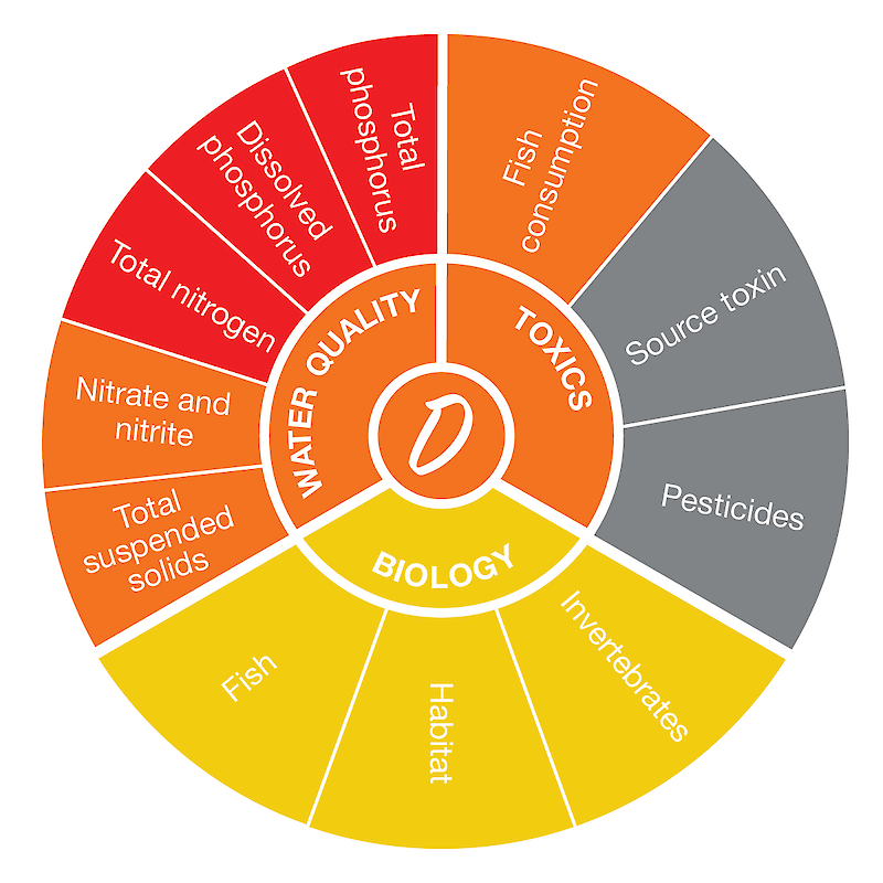
The St. Marys River region score was based on nine indicators with adequate data. The highest-scoring indicator was fish, while the lowest-scoring indicator was total phosphorus. Read more about the individual indicator scores here.
*Information from the Western Lake Erie Basin Partnership.

