The River Raisin and Huron River watersheds drain a combined 1,900 mi2/4,921 km2 covering eight Michigan counties—Oakland, Livingston, Ingham, Jackson, Washtenaw, Wayne, Monroe, and Hillsdale—and part of Fulton County in Ohio. The Ottawa-Stony River system, a short branch of Tenmile Creek, covers parts of Monroe and Lucas counties, drains part of the Lake Erie coast surrounding the city of Monroe, which is the mouth of the River Raisin. Monroe’s metropolitan area is home to over 150,000 people. Most of the land in this region, comprised of the Huron, Raisin, and Ottawa-Stony watersheds, has been cleared for agriculture, particularly corn and soy.*
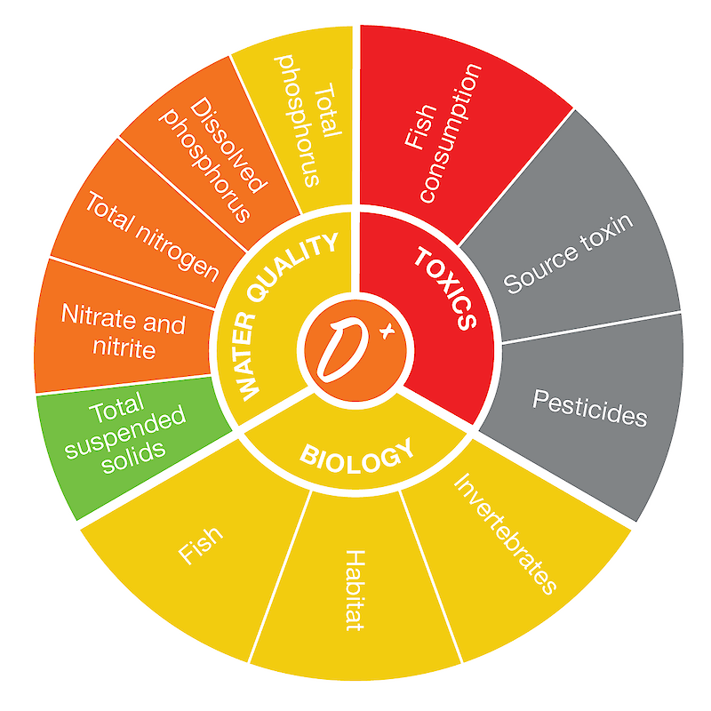
The score of the Raisin/Huron region was determined based on nine indicators with adequate data. The highest-scoring indicator was total suspended solids, while the lowest-scoring indicator was fish consumption. Read more about the individual indicator scores here.
* Based on River Raisin Watershed Management Plan, Huron River Assessment, and U.S. Geographical Survey Geographic Names.

