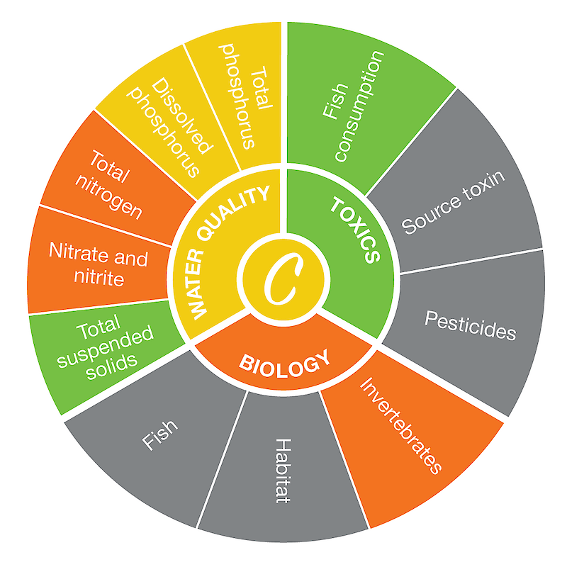
The Upper Thames encompasses the watersheds of the three upstream forks of the Thames River. The three forks—North, Middle, and South—join near London, Ontario at the Forks of the Thames. This watershed is approximately 3,400 km2/1,312 mi2 and is inhabited by 472,000 people, who live in the counties of Perth, Oxford, and Middlesex. The entire Thames watershed also includes the Chippewa, Oneida, Munsee-Delaware, and Moravian First Nation Communities. The Thames River valley is one of the most prosperous agricultural areas in Canada but is also home to over 3,000 species of plants and animals.*
The Upper Thames region score was based on seven indicators with adequate data. The highest-scoring indicator was total suspended solids (TSS), and the lowest-scoring indicator was nitrate and nitrite. Read more about the individual indicator scores here.
*Information from the Thames-Sydenham and Region Watershed Characterization Summary Report and the Canadian Heritage Rivers System nomination background study.

