Draining into the western Lake Erie basin at Port Clinton, Ohio, the Portage River system drains 766 mi2/1,983 km2 of land in Ottawa, Sandusky, Hancock, Wood, and Seneca counties. The mouth of the river has some wetlands, but the majority of the watershed (78%) is dedicated to agriculture. Only 11% of the watershed is developed, but it includes Bowling Green and Port Clinton, and over 67,000 people live the watershed.*
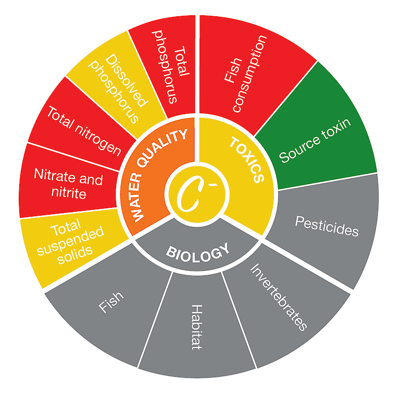
The Cedar/Portage region score was based on seven indicators with adequate data. The highest-scoring indicator was source water toxin, while the lowest-scoring indicator was total phosphorus. Read more about the individual indicator scores here.
*Information from the Ohio Environmental Protection Agency.

