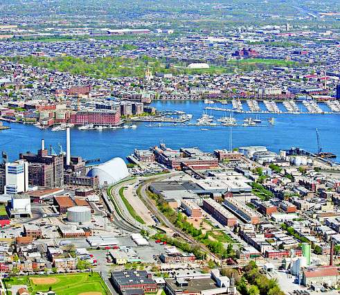
Economic data provides increased granularity
The data used to generate the new economic indicators is available at the county scale. To be comparable to the ecological and social data, we have aggregated these county–level economic data (below, right) into the reporting regions (below, left). Since the geographic specificity that the county-level data provides is useful and informative, both the county–level data and the population-weighted reporting region data are available on the chesapeakebayreportcard.org website.

More insights into environmental justice
We are committed to better representing environmental justice in our annual Chesapeake Bay and Watershed Report Cards. In addition to the social vulnerability index, heat vulnerability index, and walkability indicators, this year’s report card also includes two new economic indicators with environmental justice implications: income inequality and housing affordability.
Chesapeake Bay report card serves as a model
The 2021 Chesapeake Bay and Watershed Report Card has also been setting the standard for guidance globally on collecting and assessing watershed indicators. UMCES plays a key role in regional, national and international efforts to advance our understanding of how economic, ecological, and societal health impact our environment.
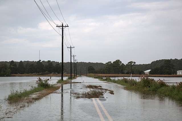
Coastal Adaptation
The first-of-its-kind Maryland Coastal Adaptation Report Card was released in January 2022. Maryland scored a B- in coastal adaptation. This indicates that although progress toward adaptation is being made, more work is needed to ensure that the state is prepared for increasingly severe climate-related events. The score is based on the current condition of 15 stakeholder-selected indicators.
Future Earth Coasts
UMCES’s close association with Future Earth Coasts (a Global Research Network of Future Earth), has enabled the Chesapeake Bay Report Card to be used in comparative studies of sustainability in numerous coastal systems worldwide. This is both advancing our ability to fully understand sustainability in coastal areas, and we’ve learned new techniques for application here in Chesapeake Bay.

Healthy Rivers for All
In a partnership with the World Wildlife Fund, UMCES has developed materials to facilitate report card production in other locations.The partnership released “Selecting Indicators for Basin Health Report Cards” in May 2022, as a companion to a previous booklet “Practitioner’s Guide to Developing Basin Health Report Cards.” UMCES also has produced an edX online course, “Storytelling with data using socio-environmental report cards.”
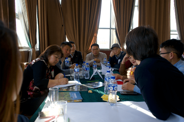
COAST Card
The Coastal Ocean Assessment for Sustainability and Transformation is a Belmont Forum-funded international and transdisciplinary program that aims to foster solutions to global sustainability challenges by merging socio-environmental report cards, social network analyses, and system dynamics models. It builds on the framework that we are using and developing for the Chesapeake Bay and is emulated in Manila Bay, Tokyo Bay, Ishigaki Island, and the Goa Coast of India."
